There are a couple of little alleyways and cut - throughs in Hollingdean.
We've found some and there are a few more to stick on here, but if you know any that we've missed, please let us know!
Hollingdean has a huge variety of architectural styles and has grown substantially on account of 2 key eras of expansion: the Victorian age and the construction of housing estates in the 1930's.
Bordered on part of the western side of the estate by mature woodland, there is a veritable maze of little paths and shortcuts between locations in the viscinity of the woods. There are also a few located in the more built up parts of the estate.
********************
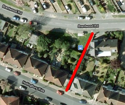
1. Brentwood Road to Hollingdean Terrace.
TOP LEFT: Looking from Brentwood Road (where the bus stop is) towards the top of Hollingdean Terrace & Hollingbury Rise.
TOP RIGHT: Southern end with junction of Hollingbury Rise & Hollingdean Terrace.
LEFT: Looking from the top of Hollingdean Terrace towards Brentwood Road.
How can I use this?
Combined with the various woodland paths in the immediate area, this alleyway is part of a useful route from (for example) :
Varndean Schools and Patcham to Lewes Road district.
Hollingbury ASDA to Lewes Road.
A map of the immediate area can be seen below.
********************
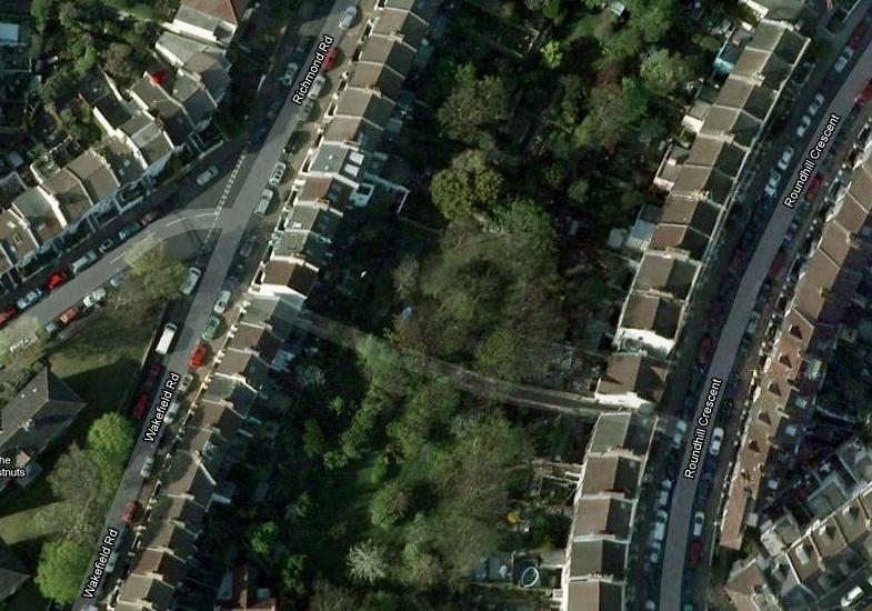
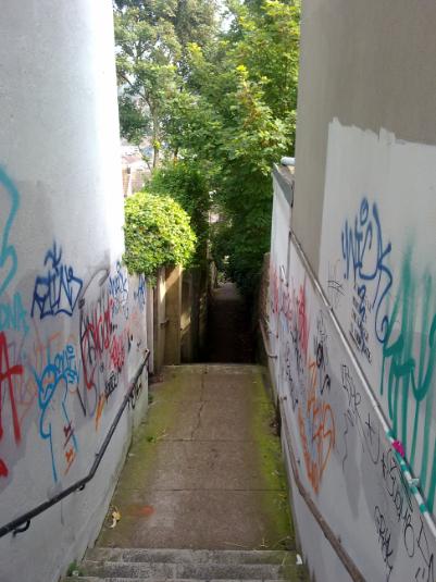
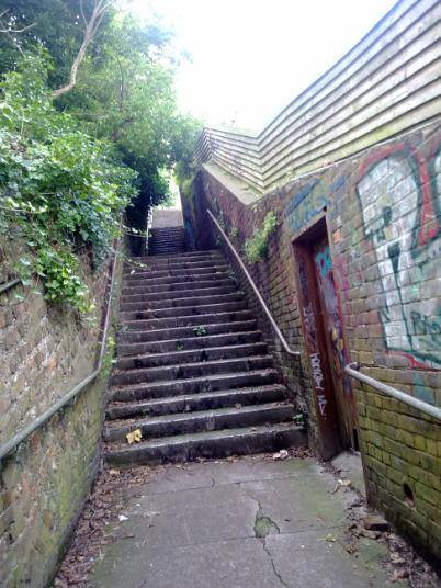
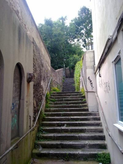
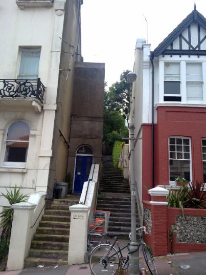
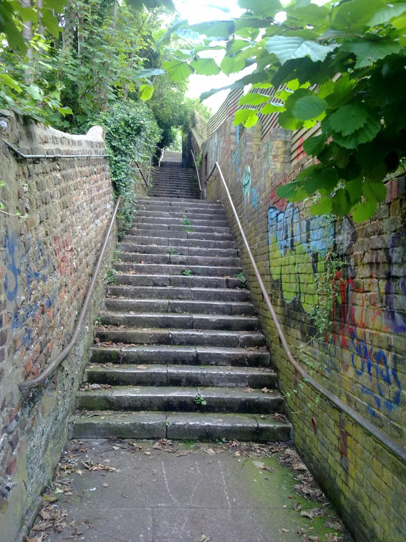
2. Richmond Road to Roundhill Crescent
Just opposite number 5 Richmond Road, there is a small and unassuming gap between the wonderful old houses, which is the home of something of a leviathan when it comes to alleyways. This has to be one of Brighton's best kept secrets, as it is in a wonderful location and offers some pretty spectacular views across Brighton.
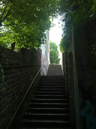
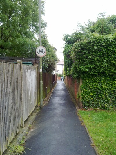
ABOVE LEFT & RIGHT: As this Alleyway traverses the distance between Ditchling Road and Lewes Road, there is a big hill for the duration of this alleyway. As a result there are a lot of steps - okay if you are going from Ditchling Road as it's all downhill, but if you are going the other way, it's quite a climb!
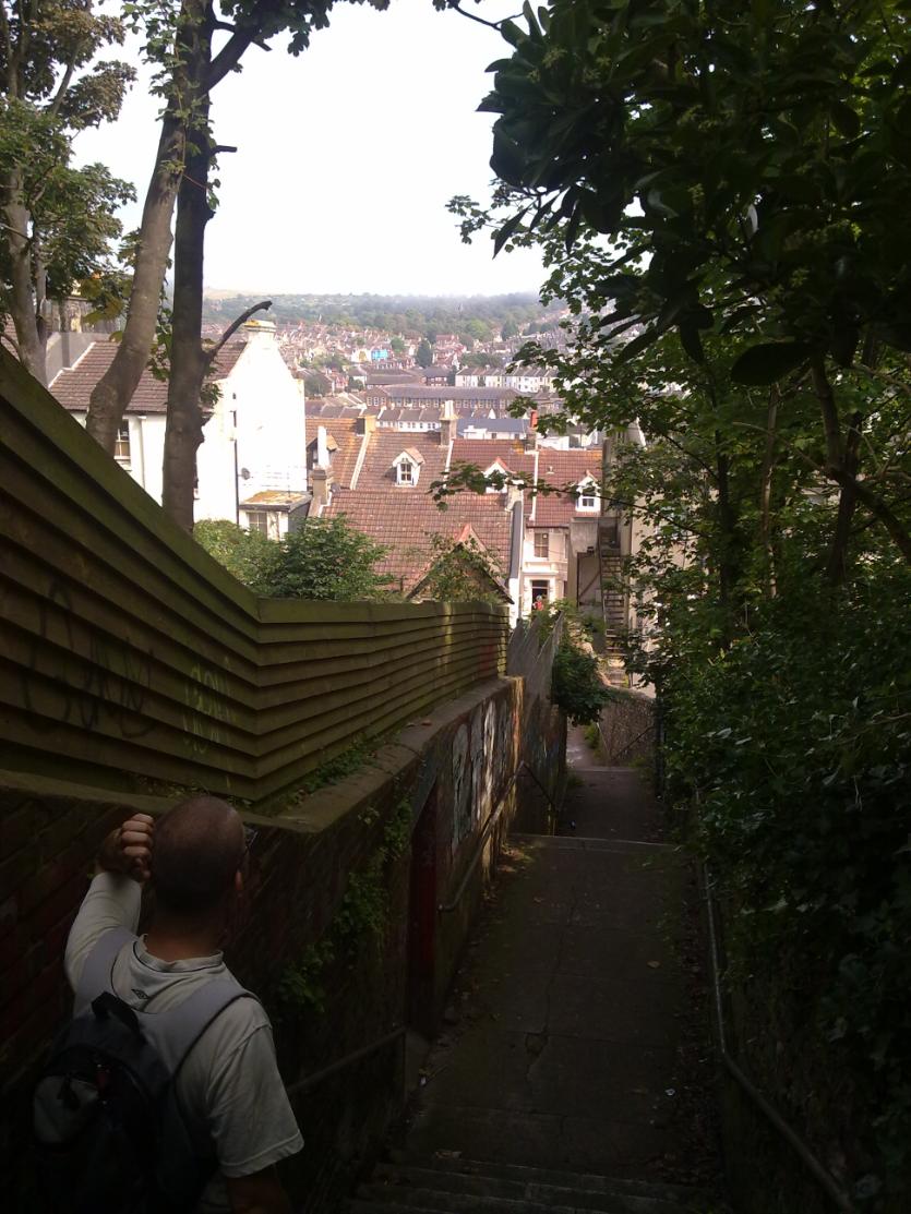
ABOVE: There are some lovely views to be seen from this location, looking across the valley of Lewes Road, towards Elm Grove, Meadowview and the Race Course.
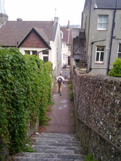
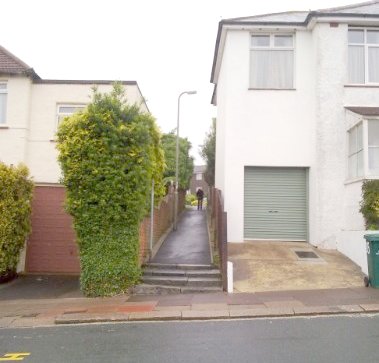
ABOVE LEFT: The Roundhill Crescent end of the alleyway looking due East. The view looking back due West is seen from Roundhill Crescent and is seen on the RIGHT.
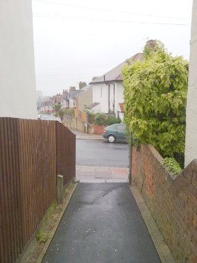
BELOW: A colourful and peaceful thoroughfare in the centre of the city.
BELOW: Aerial map of the location for this Alleyway: the junction of Richmond Road, Prince's Crescent and Wakefield Road is seen top left with Prince's Crescent towards Ditchling Road leading off the left of the map.
How can I use this?
As Prince's Crescent and Richmond Road are close to Ditchling Road, this would form a very useful cut-through for anyone travelling from (for instance) Preston Circus to Lewes Road Sainsburys: The route would be via Preston Road, Ditchling Rise, Prince's Crescent, the alleyway, Roundhill Crescent and Upper Lewes Road.